

Approach
WASCA adopted bottom-up approach using Composite Water Resource Management (CWRM) Planning framework at the lowest geographical scale i.e Gram Panchayat for a holistic planning.
The process has adopted the principles of Integrated Water Resources Management and aligned with international policy frameworks such as Sustainable Development Goals (SDG) and Nationally Determined Contributions(NDC).
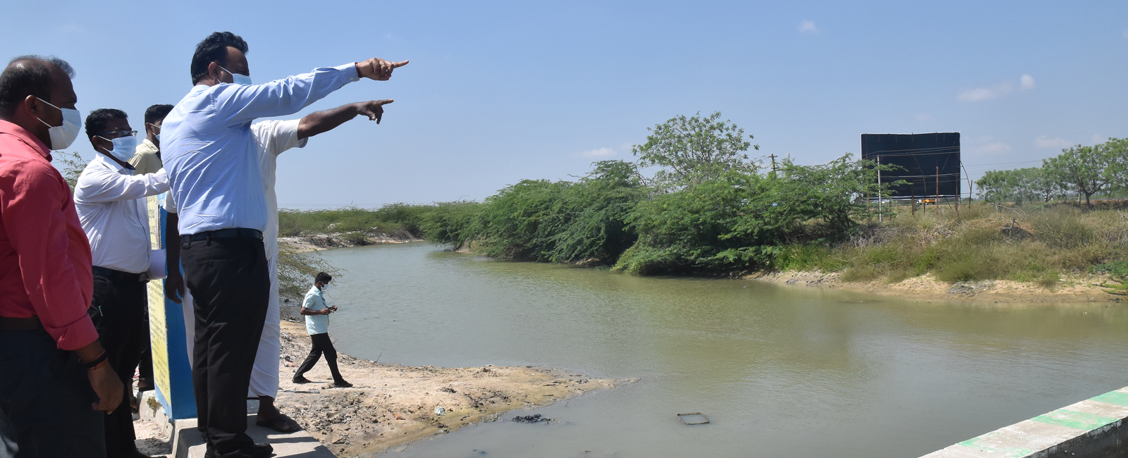
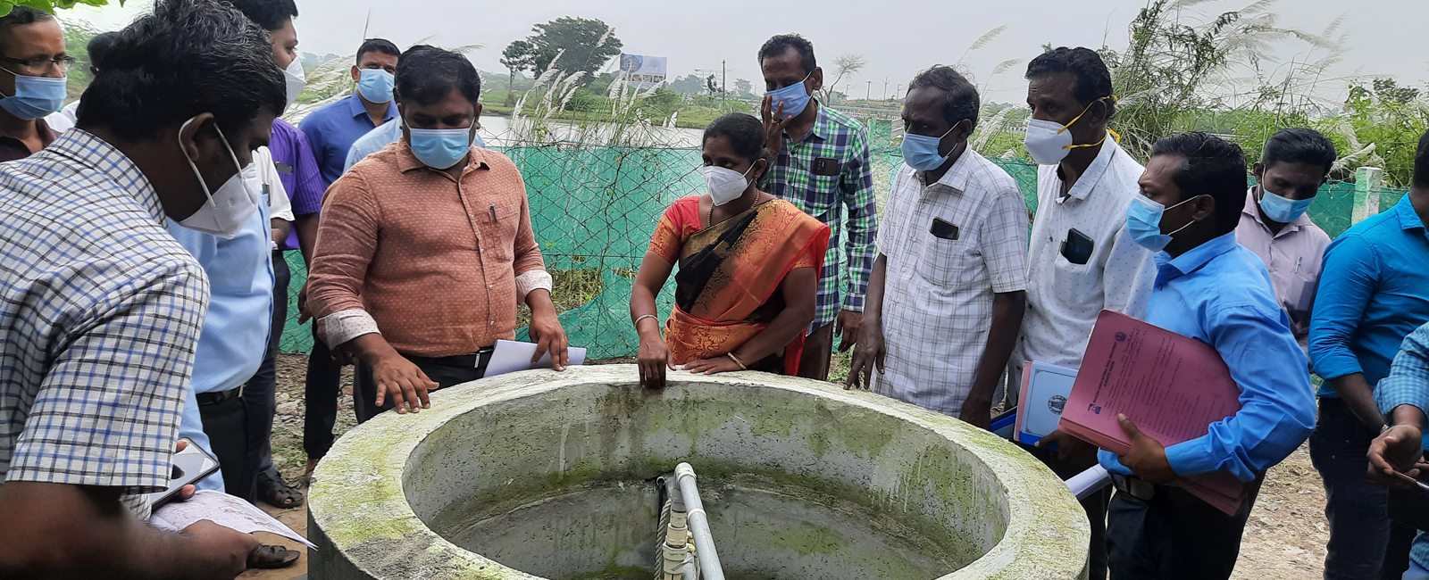
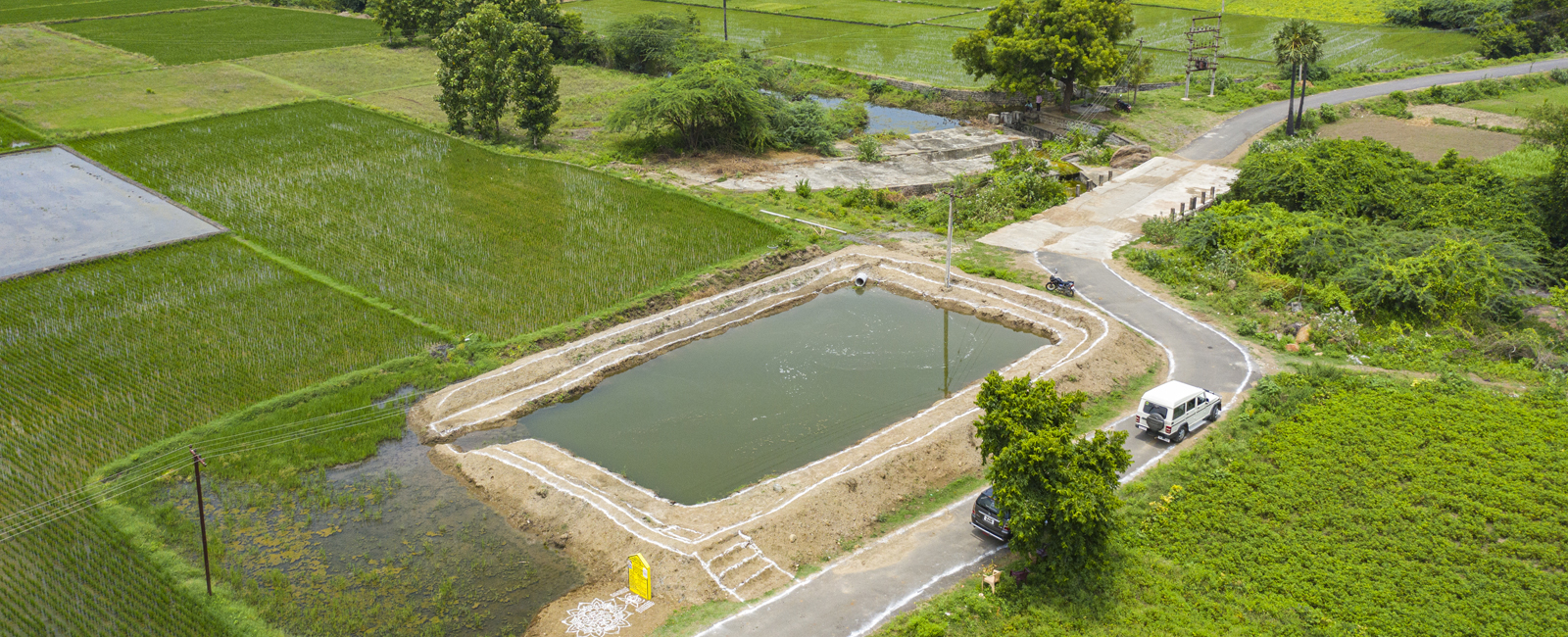
The analysis covered four dimensions namely socio-economic, climate, water and agriculture and allied activities to assess the key water challenges and vulnerabilities. It used 119 non-spatial and 17 spatial parameters in the analysis and scientifically identified works/water actions pertinent to natural resources management. The works identified are under the categories namely public/common land, agriculture and allied activities and rural infrastructures. Besides, based on vulnerability context, relevant climate resilient measures are piloted to have a long-term impact.
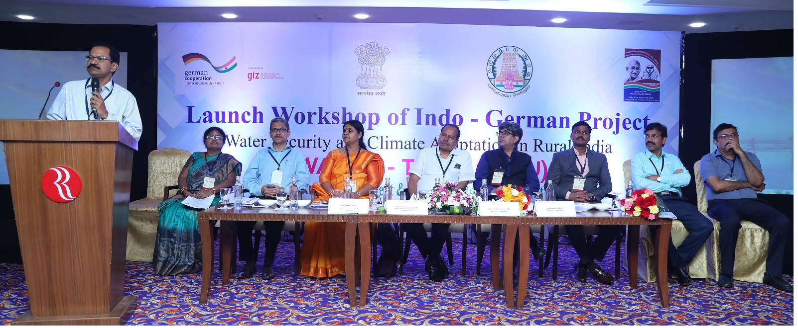
The Department of Rural Development & Panchayat Raj, Government of Tamil Nadu is the executing partner of WASCA in Tamil Nadu. It is jointly implemented through Mahatma Gandhi National Rural Employment Guarantee Scheme (MGNREGS) under MoRD and National Water Mission under MoJS in convergence with relevant national/state schemes and plans through line departments and private sectors.
The project has good steering mechanisms to guide and support the field team both at state and district levels. The steering committees had representation from multi-disciplinary experts with practical experiences and had close interactions on quarterly basis.
As an enabling structure, WASCA Resource centre was established at the district level in District Rural Development Agency to facilitate participatory planning, implementation and coordination adopting CWRM and GIS planning framework.
Actions
WASCA identified two most climate vulnerable districts, namely, Ramanathapuram and Tiruvannamalai in Tamil Nadu based on climate vulnerability index using 18 indicators.
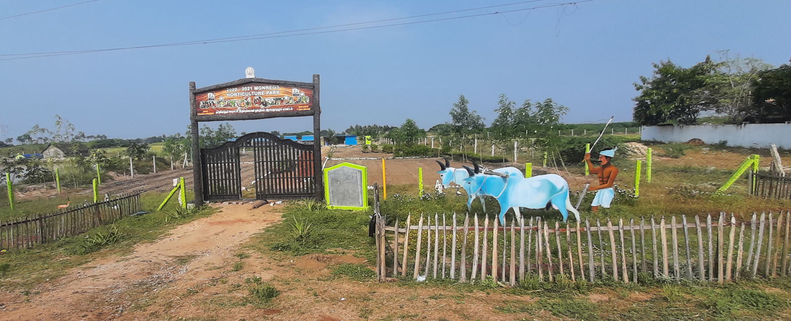
The CWRM plan is developed for all 1289 Gram Panchayats in both the districts. The plan identified works covering public and common land, agriculture and allied sectors and rural infrastructures. These works have potentials to make significant impacts mainly in augmenting water resources, increasing green cover, agriculture development and employment opportunities.